
Disasters can happen out of the blue, leaving communities open to harm. For disaster management to work, responses need to be quick and correct. Geographic Information Systems (GIS technology) are very important for making disaster management better. GIS makes it easier to understand, analyze, and deal with disasters. It helps get data from different places, store it, and use it.
In times of disaster, GIS helps people make better choices. It gives very important details for rescue operations, sharing resources, and keeping people safe. GIS is quickly becoming an important tool for disaster management groups all over the world. It has been very useful to be able to see spatial data. GIS technology can also be used to make long-term plans for preventing disasters.
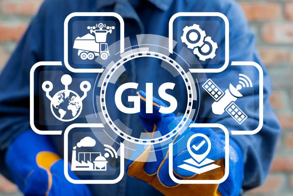
Understanding GIS Technology
Geographic Information Systems (GIS) are computer programs that collect, store, sort, analyze, and show information about places. GIS is a combination of mapping, statistics, and database management. It combines maps and data to make images that show detailed pictures of places. Hardware, software, data, and people are the main parts of GIS.
Hardware includes things like computers and GPS units that are used to gather data. Software is used to look at and process the data. Data are things like maps, satellite pictures, and different kinds of geographic information. People need to use GIS tools and figure out what the data means. GIS gives us accurate data in real-time, which is very important for managing disasters. The technology makes it easier to plan, predict, and act.
GIS In Disaster Preparedness
Being ready for a disaster is very important for limiting damage and loss. GIS helps find places where disasters are likely to happen. GIS can make maps of places that are likely to flood, quake, or catch fire. Making maps of these areas helps people plan escape routes and find safe areas. GIS can also help you figure out where to put emergency shelters.
It can help decide how to use resources so that basic needs are met. GIS can figure out where disasters are most likely to happen. Planners can use GIS to build infrastructure that lessens the damage from disasters. It also helps make plans for how to handle disasters and trains emergency teams. Early warning systems that send out alerts in real-time can be made with GIS.
Read Also: The Impact Of V2G Technology On EV Batteries
GIS In Disaster Response
During a disaster, it’s very important to act quickly and work together. Responders need real-time data, and GIS is a big part of that. It makes it easy to find areas that are affected and places that need resources. GIS helps figure out how disasters like wildfires and floods move. It can also be used to figure out how bad the damage is to infrastructure.
Responders can use GIS tools to decide which rescue operations are most important based on how bad the situation is. Responders can get real-time information about roads, the weather, and population movements. GIS makes sure that resources get to the right places and helps teams work together. Sharing data in real-time speeds up and improves the effectiveness of the response.
GIS In Disaster Recovery
GIS is very helpful for figuring out how bad the damage is after a disaster. It gives detailed maps of the areas that have been damaged to show how bad the damage is. GIS makes it easier to find infrastructure that needs to be fixed up. Setting priorities for recovery efforts is also helped by it. GIS can keep track of where recovery teams and resources are at all times.
It makes sure that resources go to the places that need them the most. GIS helps keep an eye on how the recovery efforts are going by giving real-time information. It is very important to figure out what communities need in the long term. GIS technology helps with rebuilding by making it easy to see what needs to be done. It also helps make infrastructure safer and more reliable.
Case Studies
GIS has been shown to help with disaster management all over the world. You can see how GIS was used during Hurricane Katrina in 2005. GIS technology made it easier for rescue workers to find people who were stuck and get them help quickly. Through the 2011 earthquake and tsunami in Japan, GIS was very important. It helped figure out where the tsunami was likely to hit and where it would go.
GIS was also very important in the response to the 2004 Indian Ocean tsunami. It made it easier to find the damaged areas and make maps of them. With these case studies, you can see how GIS can help with disaster response and recovery. They also talk about how important technology is for saving lives in emergencies.
The Future Of GIS In Disaster Management
It looks like GIS will be useful in disaster management in the future. Technology improvements are making GIS more useful. Drones and AI are two new tools that can be used with GIS to improve the collection and analysis of data. Drones can take real-time, high-resolution pictures of areas that are damaged. AI can look at a lot of data and make more accurate predictions about disaster trends.
Putting GIS together with social media sites also makes it easier to get feedback from people during a disaster. In the future, GIS systems will be easier to use, giving first responders easier access to tools. As technology keeps getting better, GIS will become an even more important part of preparing for and responding to disasters.
Conclusion
GIS technology improves disaster management by making it easier to plan for, respond to, and recover from disasters. It gives information that helps people make decisions more quickly. GIS helps set priorities for resources, plan escape routes, and coordinate rescue efforts. As technology keeps getting better, GIS can be combined with other tools to make disaster management better. It is still an important way to lessen the effects of disasters and save lives.
